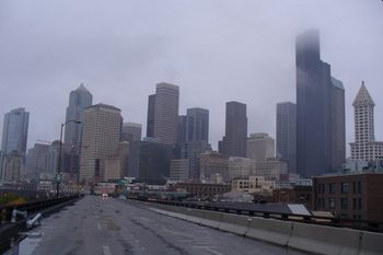
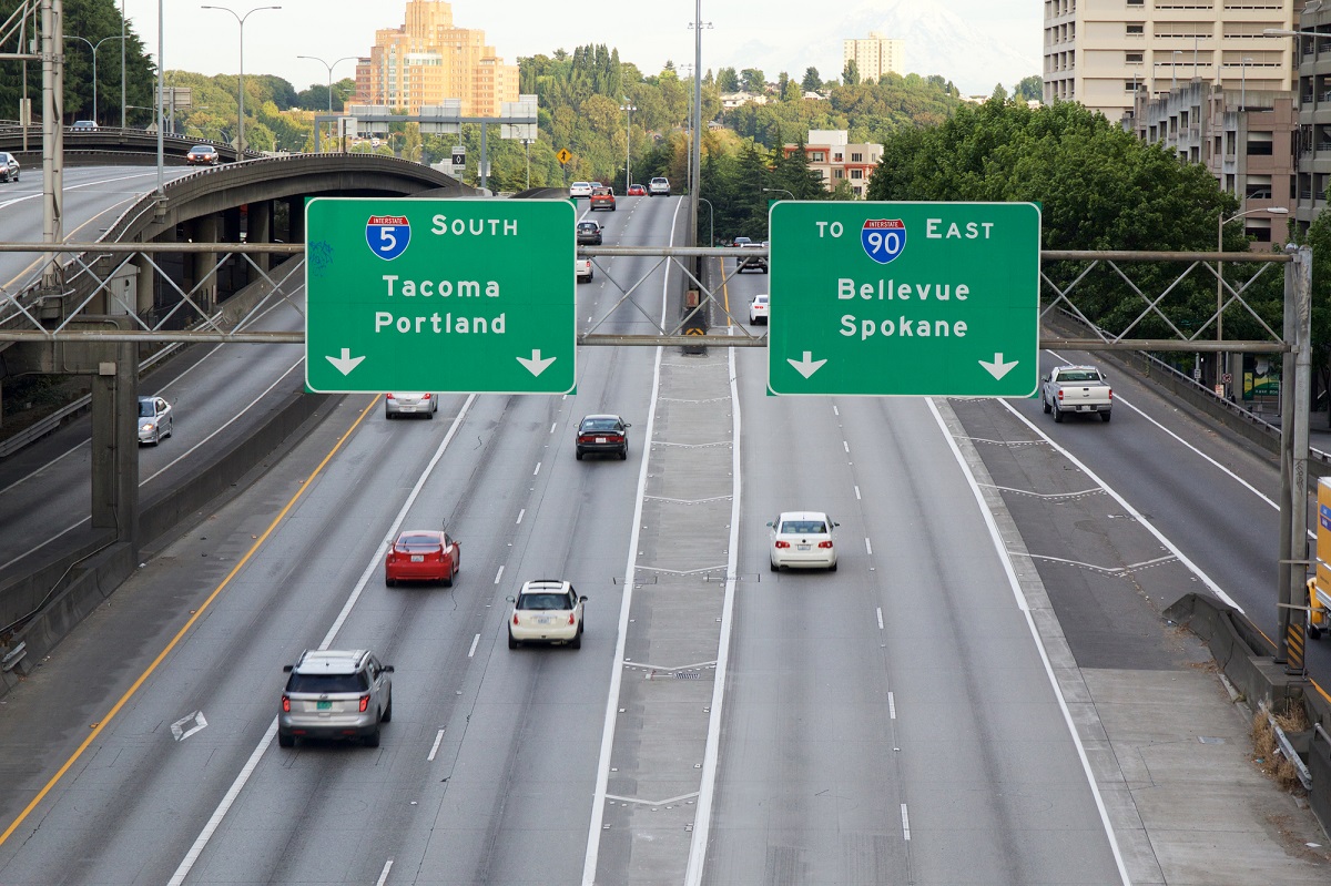
Enjoy this historical 3-minute video showing a five-day time lapse of the demolition of the south mile of the Alaskan Way Viaduct in Seattle. The demolition of the south mile of the Alaskan Way Viaduct by Rhine Demolition occurred in the fall of 2011. A photo was taken every 2 to 3 minutes from the 13th floor of the Norton Building. Time lapse video by Marcus Donner/Puget Sound Business Journal.

Seattle’s Alaskan Way Viaduct October 2011 photo by Carole Cancler
History of the Alaskan Way viaduct
In the 1950s, the Alaskan Way Viaduct was built along Seattle’s downtown waterfront. Ray Finke, city engineer at the time the viaduct was built, sums up one opinion about the roadway, “It is not beautiful,” Finke said, as designs for the viaduct neared completion.
By the end of the 20th century, the two-mile-long structure was among the state’s busiest and most important sections of highway, carrying 110,000 cars each day.
In February 2001, a 6.8 magnitude earthquake struck Seattle and sections of the viaduct sunk several inches. Engineers agreed that the viaduct could collapse with a longer or stronger quake. While state and local agencies studied alternatives for a decade, tunneling technology advanced presenting an alternative that had previously been considered too expensive: boring a tunnel under Seattle. SR 99 would remain open during construction, maintaining a vital stretch of highway through the city.
In February 2011, crews demolished a portion of the on-ramp connecting SR 99 to First Avenue South, marking the first time any part of the viaduct had been torn down.
After that initial demolition, during a nine-day closure in October 2011, an army of machines moved in to demolish the viaduct’s south end.
The final section of viaduct was demolished in 2019. More info: Viaduct demolition – Complete November 2019 | WSDOT (wa.gov)


